Stamford School Series of Illustrated Maps
A series of illustrated maps created for Stamford School in the Rutland/Lincolnshire area. The school has existed as three separate schools for nearly 500 years; firstly a school just for boys then with separate campus’ nearby in the town for the girls and the junior years. Now the school has merged to create a co-ed learning environment. With this new change, the client needed a way to demonstrate to existing and new pupils, staff and parents how the layout was going to work. Moving the senior years to one site and the sixth form years to another. Then illustrated maps needed wanted to be useful and accurate but also have a sense of life and charm so that an important and instructive piece of work might also be decorative and enjoyable.
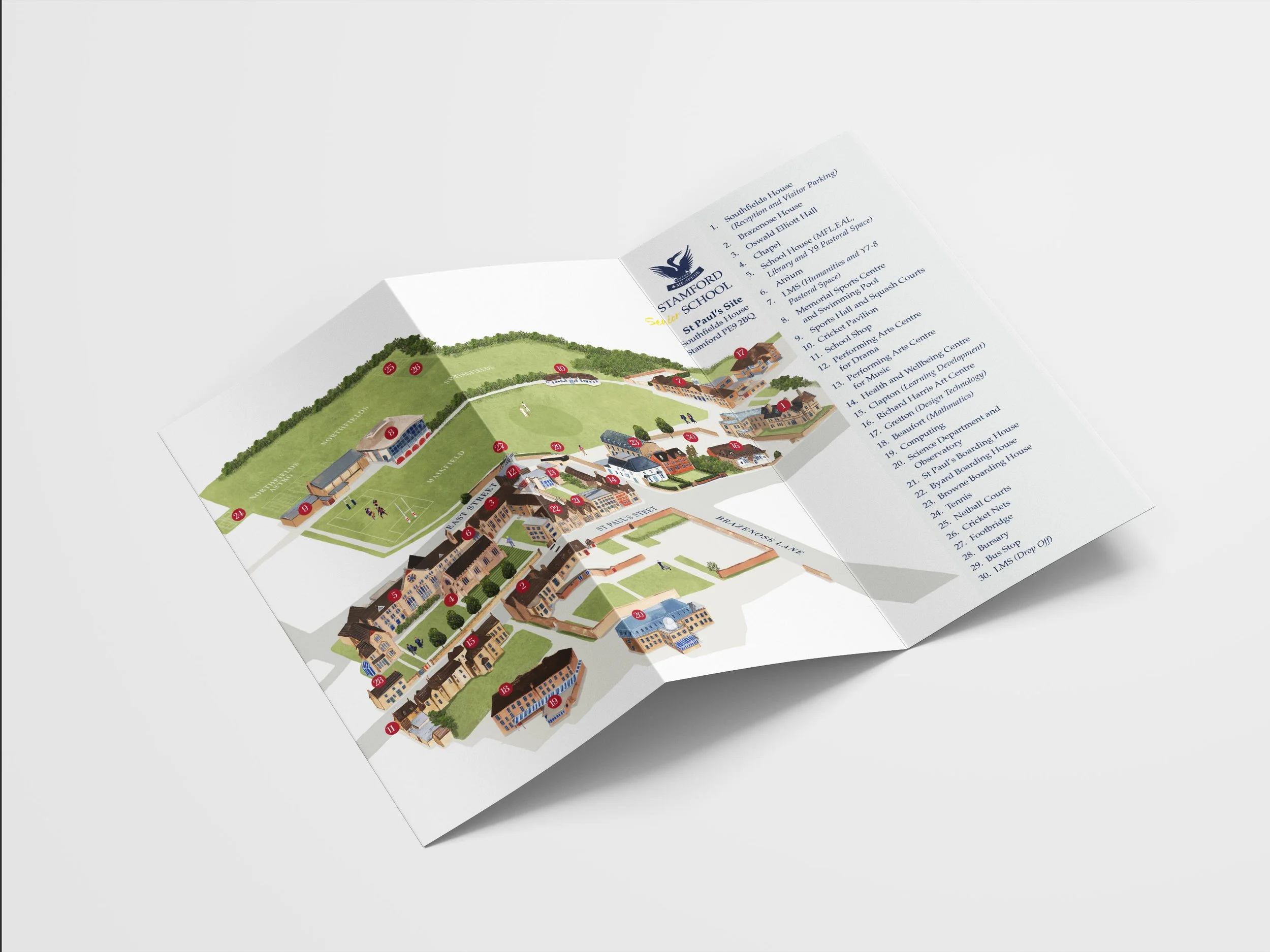
Senior School site map

Junior School site map

Sixth Form site map
As with all projects, these maps began has hand drawn individual elements that have been pieced together digitally, giving the most flexibility and freedom for the final outcome. The maps can be updated as time goes on when new departments or developments to the site occur or can be removed if they are no longer applicable.
All illustrations are creating using watercolour, gouache, pencil crayon and oil pastel before being digitalised.