Illustrated Maps
Helen specialises in creating hand drawn, illustrated maps that are full of whimsy and characterful charm. Each element is originally created by hand using watercolour and pencil crayon before being digitalised and edited together. This gives each map the flexibility to be used for a variety of purposes and adapted over time as the maps may need to change.
The unique charm that Helen brings to her maps can be seen in the characters that are dotted amongst the maps, the out of scale proportions and ever-so-slightly wonkiness of the buildings. Each map is brought to life with Helen’s distinct illustrative style.
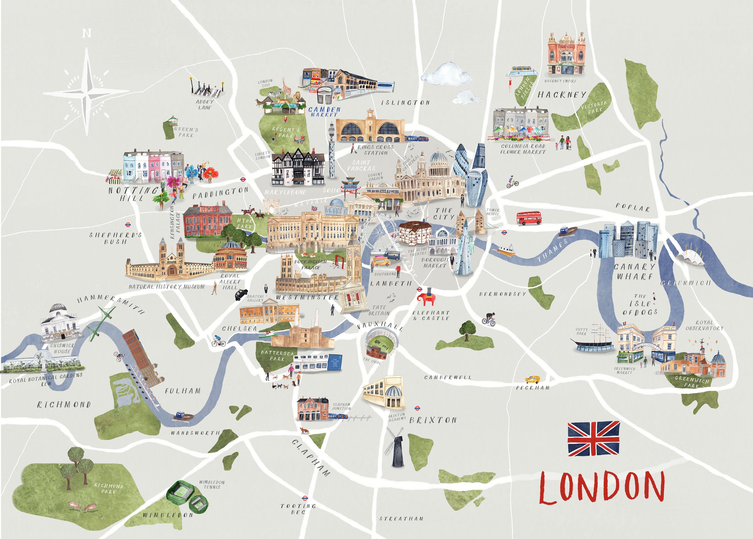
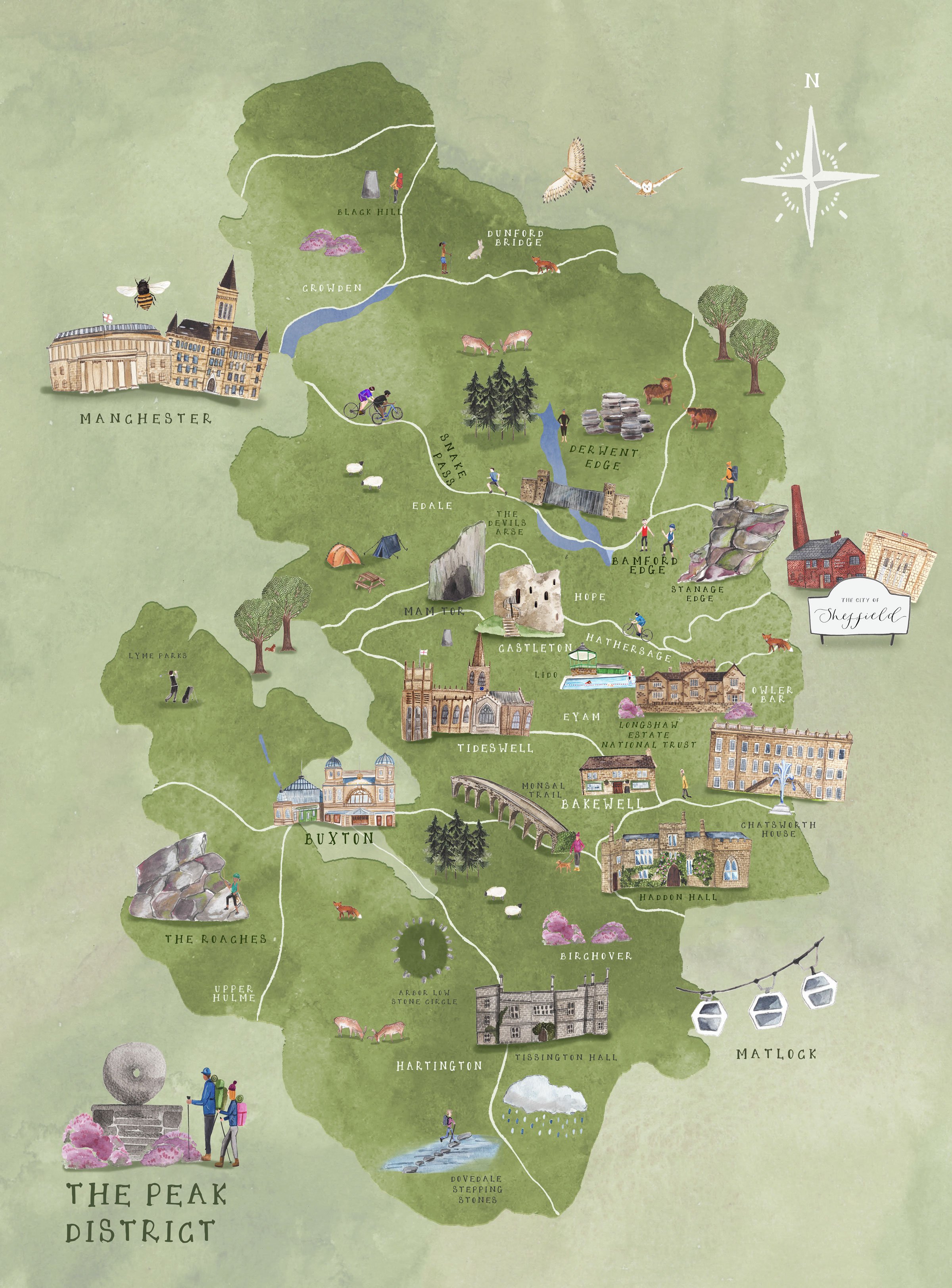
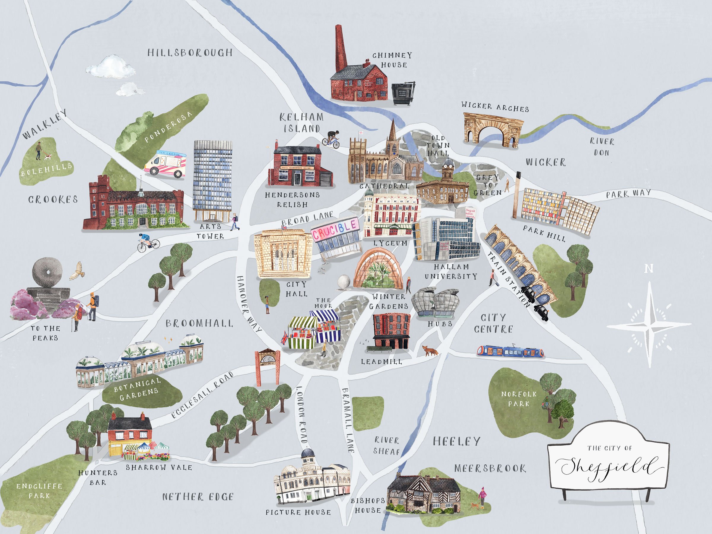


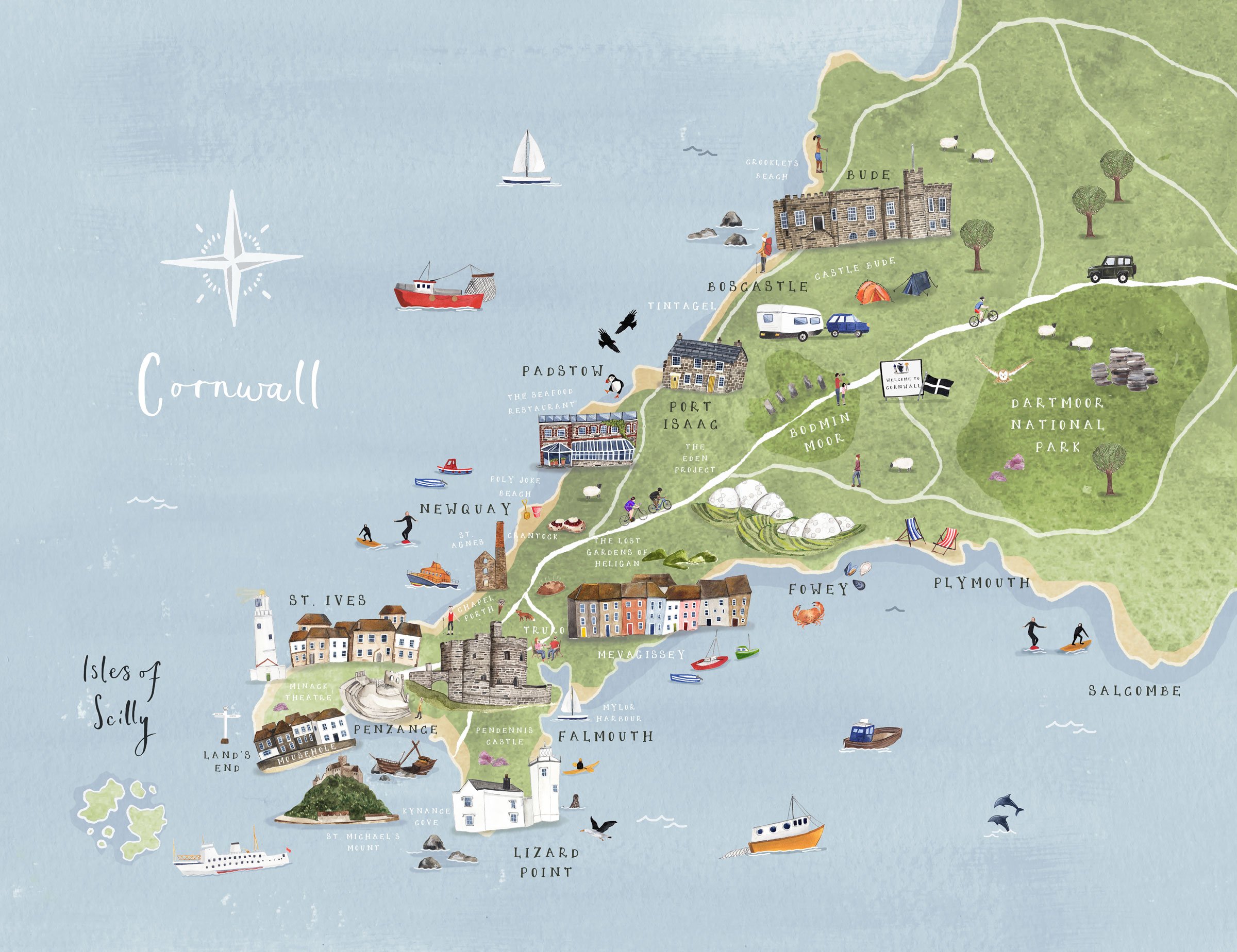

These illustrated maps were created as personal projects. They feature places that Helen has been inspired to illustrate.